Belceğiz kalkışı (sentetik)
- Elevation
- 1,182 m
- Launch direction
- west (270°)
- Slope
- 26°
- Flight data support
- Strong
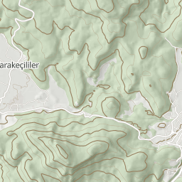
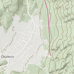
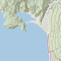
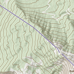
- Wedge: launch direction, from flights
- Arrow: the wind of the selected hour (once the forecast loads)
The wedge and the arrow are drawn when zoomed in (zoom 11 and closer). A comparison of directions only; the pilot decides.
Wind and take-off
Shaded range: directions the take-off faces (±45°)Marker: where the wind comes from
Today and tomorrow, hour by hour
Column: 10 m wind speed (m/s); the arrow points where the wind blows; below it, the mark against the take-off. Past hours are struck through, with a hollow column. Pick an hour.
Rows below: approximate temperature at take-off height (°C) and the cloud base's height above the take-off (m; “cloud”: base at or below the take-off). The cloud base is an approximation from the forecast's temperature and dew point (125 m × spread); the real base may differ.
This only compares the forecast wind direction with the directions the take-off faces. It is not a go/no-go call. The pilot decides.
The forecast is for 10 m above ground and a 0.25° cell; the take-off's exact position is never sent to the weather service.
Slope analysis
Shades the map by how the sun and the forecast wind meet the slopes on the day and hour you pick.
Slope the sun hits nearly head-on (angle of incidence below 60°)
Slope in glancing sun or in shade
Shadows cast by neighbouring mountains are not computed; only which way the slope faces.
Slope facing the wind
Lee slope (wind from behind)
The wind is a model forecast for a 0.25° cell; the real wind on a ridge can differ.
For pre-flight planning only; not for use in flight, the pilot decides.
Facts
- Elevation
- 1,182 m
- Launch direction
- west (270°)
- Slope
- 26°
- Direction source
- From flights (where pilots launch)
- Position
- 36.5496° N, 29.1551° E
- Last updated
- 8 November 2026
The directions pilots face when launching here (from flights). Wind from these directions suits a launch.
- Top landing
- yes (at least 5 pilots)
There are records of top landings; conditions and skill are the pilot's own judgement.
Flight data support
Strong
Flights of at least 10 different pilots
No exact count is shown, to protect pilots' privacy; support is given as a level.
At this take-off, the model in past flights…
- showed the wind direction mostly 20° clockwise of the direction pilots actually launched in (confidence interval 13° … 27°).
- gave mostly 7–11 km/h of surface wind (10 m) in the hours flights happened (median 10 km/h).
- gave mostly 5–15 km/h at about 1,500 m (850 hPa) in the same hours (median 9 km/h).
The flights compared mostly took off between 10:56 and 14:02. Landings were mostly between 11:42 and 15:09.
The first thermal was usually seen 153 min after the sun reached 30° (median time 11:56; confidence interval 113 … 229 min).
The weather model gives no thermal start, so the thermal time is compared with the sun's altitude. When pilots launch late, the first thermal looks late too.
This summary includes synthetic test flights; it does not show real conditions.
Intervals are 95% confidence intervals from past flights.
A summary of past flights, not a forecast or a go/no-go call. The pilot decides.
Source: Model wind: Deutscher Wetterdienst (DWD), ICON-EU, CC BY 4.0, via Open-Meteo; ERA5 reanalysis: Copernicus Climate Change Service (C3S), contains modified Copernicus Climate Change Service information; compared with flights by Updraft.
Nearby places
- Babadağ 1700 Take-off 1.8 km
- Ölüdeniz iniş alanı (sentetik) Landing 3.0 km
- Babadağ 1900 Güney Take-off 3.3 km
- Ovacık inişi (sentetik) Landing 3.7 km
Regional guide: Fethiye – Ölüdeniz, Muğla